
Wildfires are routine in the American West, but the state of Colorado has seen its share and it is now working on new technology that might help predict a fire’s path and intensity.
CGTN’s Hendrik Sybrandy reports
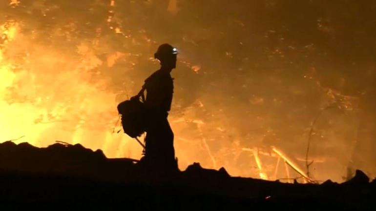
For more than 10,000 California homeowners and businesses, help from their local fire departments came too late.
“I was just coming up the street to see my neighbors and I didn’t realize my house was gone too,” said one resident this past week, tears streaming down her face.
Many experts believe a warming climate combined with building development in wooded areas will make wildfires a threat for years to come.
“We’re in a new abnormal, and things like this will be part of our future,” California Governor Jerry Brown said.
Brad Schmidt is one of those looking into the future, anticipating a time when firefighters, using just a few computer keystrokes, can plot the course of a blaze soon after it begins.
“Once a fire starts, we need to know where it will burn, if it will affect towns or watersheds or other values that are at risk,” Schmidt, a wildland fire technology specialist with Colorado’s Center of Excellence for Advanced Technology Aerial Firefighting, said.
Colorado established the center five years ago as a sort of think tank to study aviation’s role in firefighting. Its mission is broader today: it’s developing computer software that uses information about terrain, vegetation and weather to create a fire forecast map. Input a fire’s location.
“And it will predict from hour one to hour 18 where the fire will go, where the smoke will go, how fast it will grow and how intensely it will burn,” Schmidt said.
Thus allowing a better allocation of firefighting resources, more accurate warnings to residents and helping prioritize which of a number of different fires in the state are attacked first. Firefighters have largely relied on their intuition to do all that before.
“The improvement that we hope to see is simply catching things before they’re big,” Ben Miller, Center of Excellence director said. “Any time we can improve the accuracy of our decision-making, that equates to saved lives, saved property, etc.”
Colorado is the first state to develop this type of fire prediction system. Weather, often heavily affected by fires, has proven to be the toughest variable to master. A supercomputer processes the 110 meter resolution temperature, humidity and wind data to produce the forecast.
“And that type of hyperlocal forecast is what really sets this model apart from its competitors,” Schmidt said.
The center said the fire prediction maps are simply meant to help confirm fire managers’ decisions.
“I don’t see the supercomputer, artificial intelligence, ever replacing the human in making these decisions,” Miller said.
In fact, firefighters are helping fine-tune the system which is expected to go online by the end of 2020. It’s a high-tech way of taming large wildfires that too often burn out of control.